01 / LIDAR
High-Accuracy As-Built Drawings
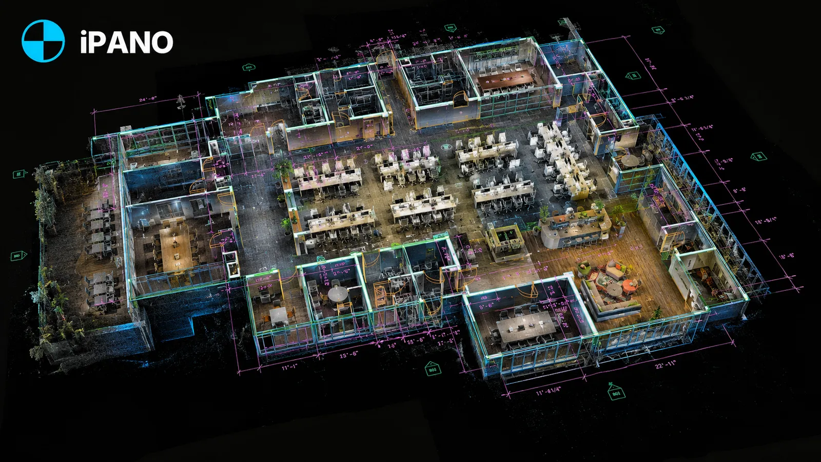
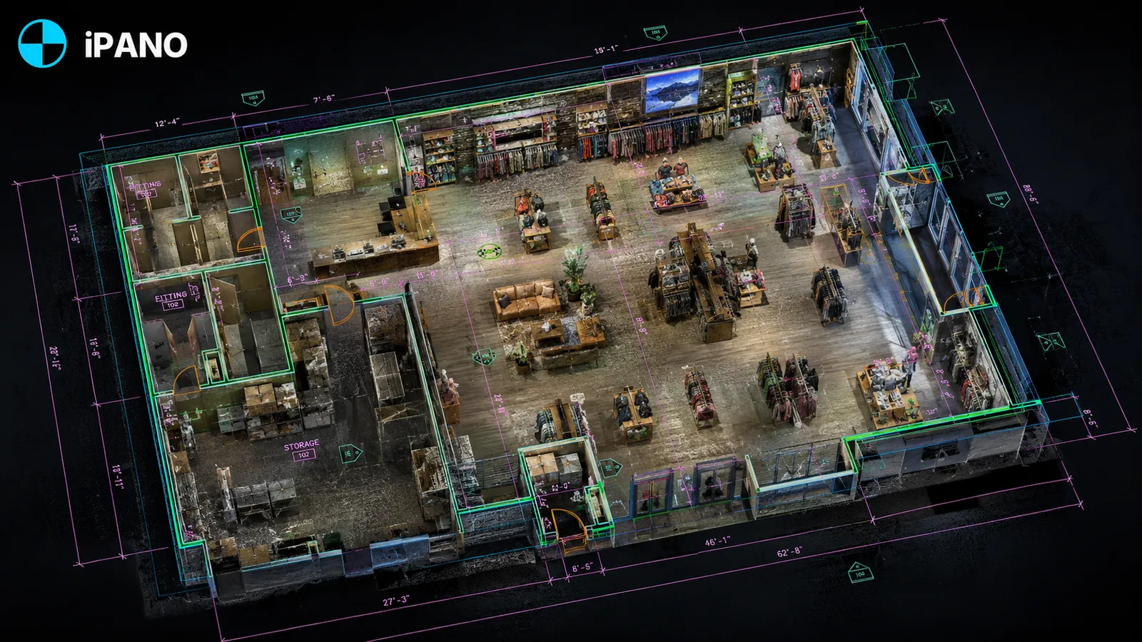
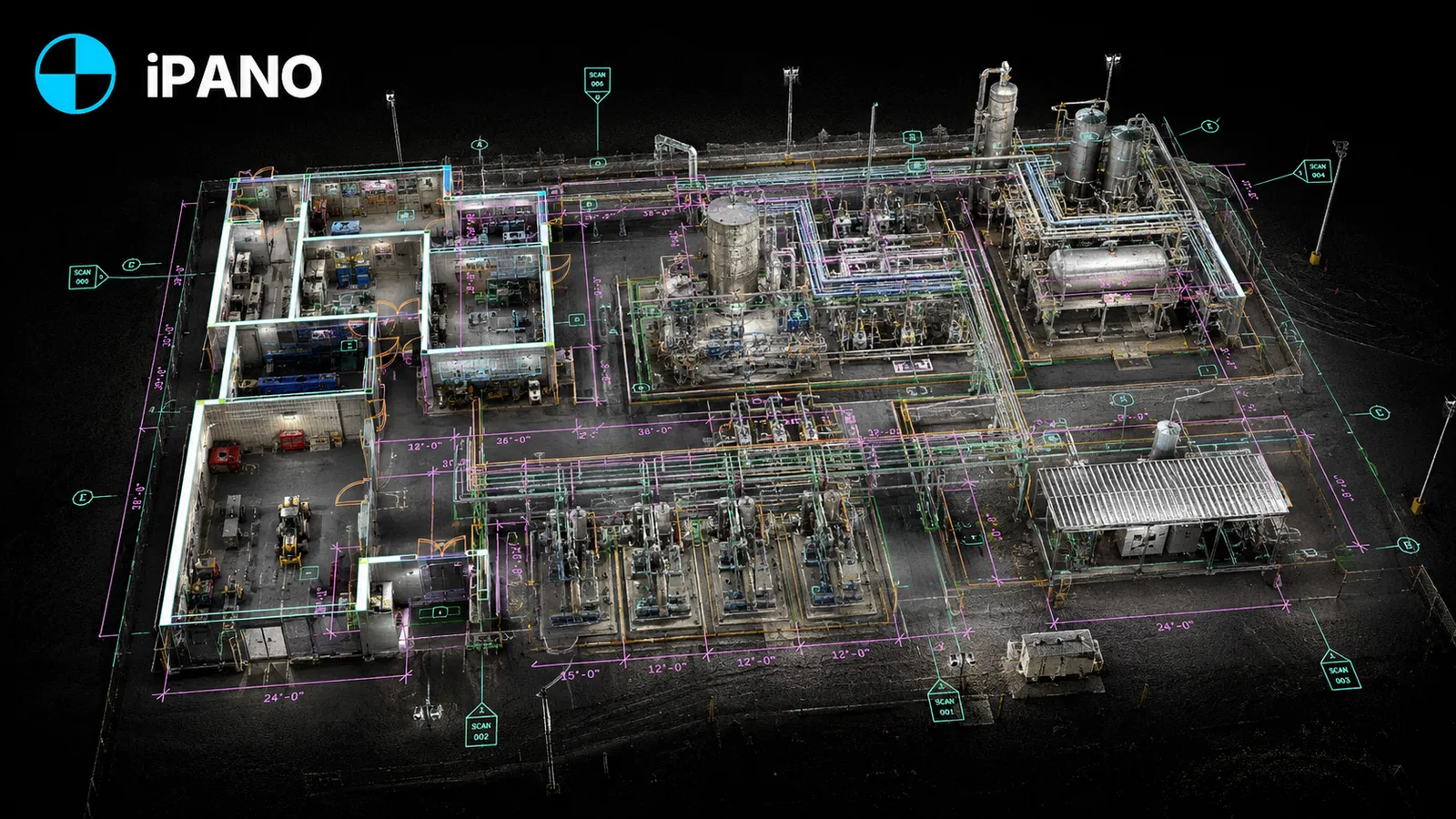
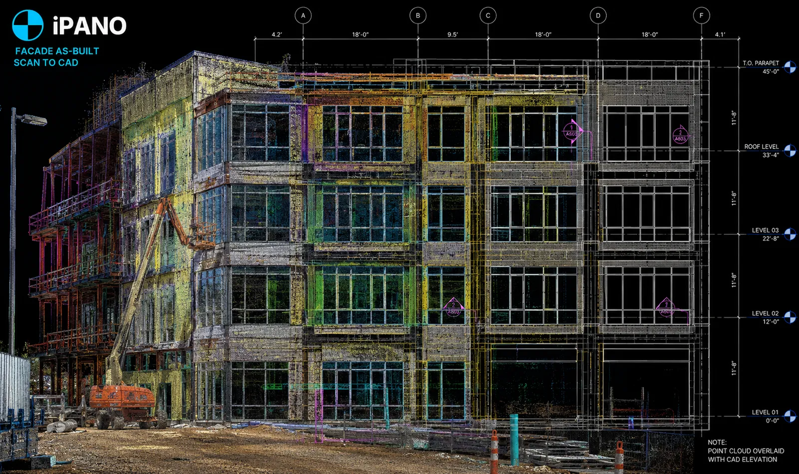
We leverage advanced LiDAR and 3D laser scanning to capture existing site conditions with survey-grade precision. Our team transforms raw point cloud data into detailed CAD and Revit (BIM) models.
Key Deliverables
- Precision-grade DWG, PDF, and RVT files
- Scan-to-BIM workflows
- Structural, MEP, and heritage documentation